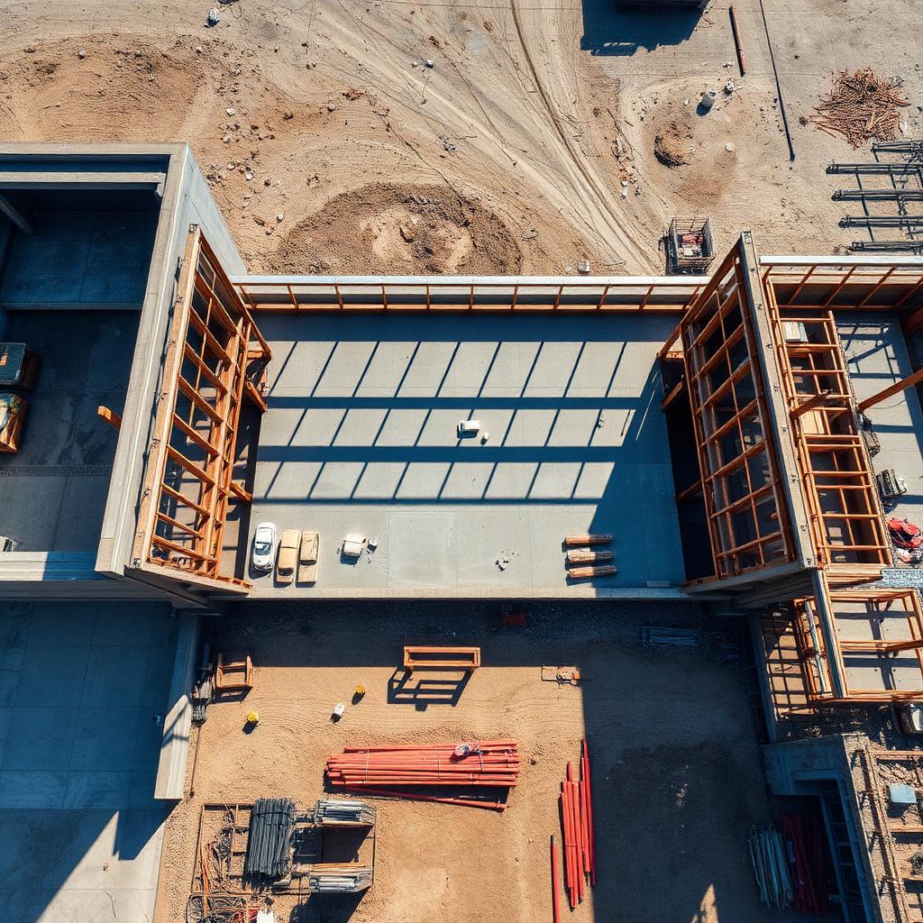
Drone Mapping and Photogrammetry
- Orthomosaic Maps
- Digital Surface Models
- Digital Terrain Models
- Point Clouds
- Contours
- High-Resolution Aerial Imagery
- CAD and GIS-Compatible Deliverables
Aerial Data · Mapping · Inspection
MG Solution Pros turns raw airspace into decisions — survey-grade orthomosaics, point clouds, 3D models, and inspection records flown on your schedule and delivered in the formats your team already uses. Proudly serving Texas, Louisiana, Mississippi, and Alabama.
Built for the teams that rely on measurable data
Services
Every mission starts with your end product — the CAD surface, the pay-quantity volume, the thermal anomaly map. We plan altitude, overlap, and control around the file you need, not the other way around.
Industries We Serve
From the surveyor checking our ground control to the superintendent defending a schedule — our datasets hold up in the rooms where decisions get made.
Also Serving
The Workflow
Six disciplined steps from first call to final files — and you'll know exactly where your project stands at every one of them.
Airspace review, mission planning and access coordination before anyone leaves the shop.
RTK-enabled workflows with ground control or checkpoints when the deliverable calls for it.
Programmed flight lines with consistent overlap, altitude and sensor settings across the site.
Imagery is aligned, referenced and processed into a measurable, georeferenced dataset.
Nadir orthomosaics and classified point clouds form the base of every downstream product.
Textured meshes, surfaces, contours and reports packaged in your CAD or GIS formats.
Technology and Workflow
RTK-equipped aircraft, radiometric thermal sensors, and processing pipelines that turn thousands of frames into one measurable dataset — matched to your accuracy requirements and confirmed per project.
Aircraft
DJI Matrice 4E
Aircraft
DJI Matrice 4T
Positioning
RTK positioning
Positioning
Ground-control workflows
Processing
DJI Terra
Processing
DroneDeploy
Operations
FlightHub 2
Interoperability
ArcGIS compatibility
Interoperability
AutoCAD compatibility
Delivery
Cloud-based project delivery
Processing
Photogrammetry processing
Sensing
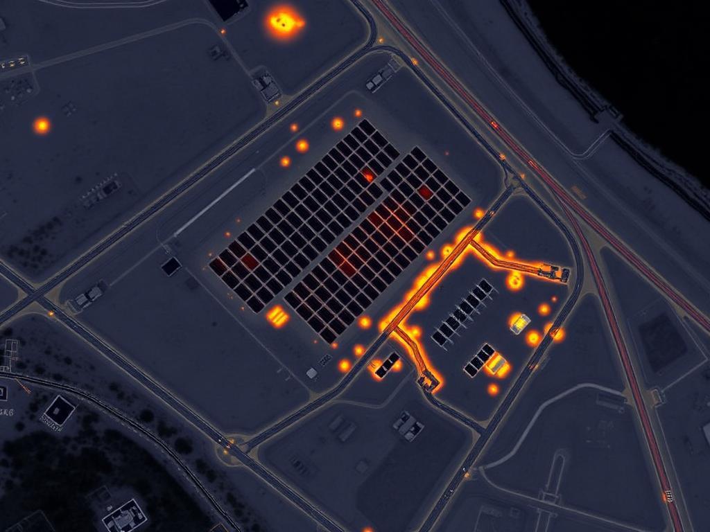
Thermal imaging
Processing
Point-cloud processing
Delivery
Cloud project hosting
Equipment and software capabilities are listed for workflow reference and are confirmed per project.
Deliverables
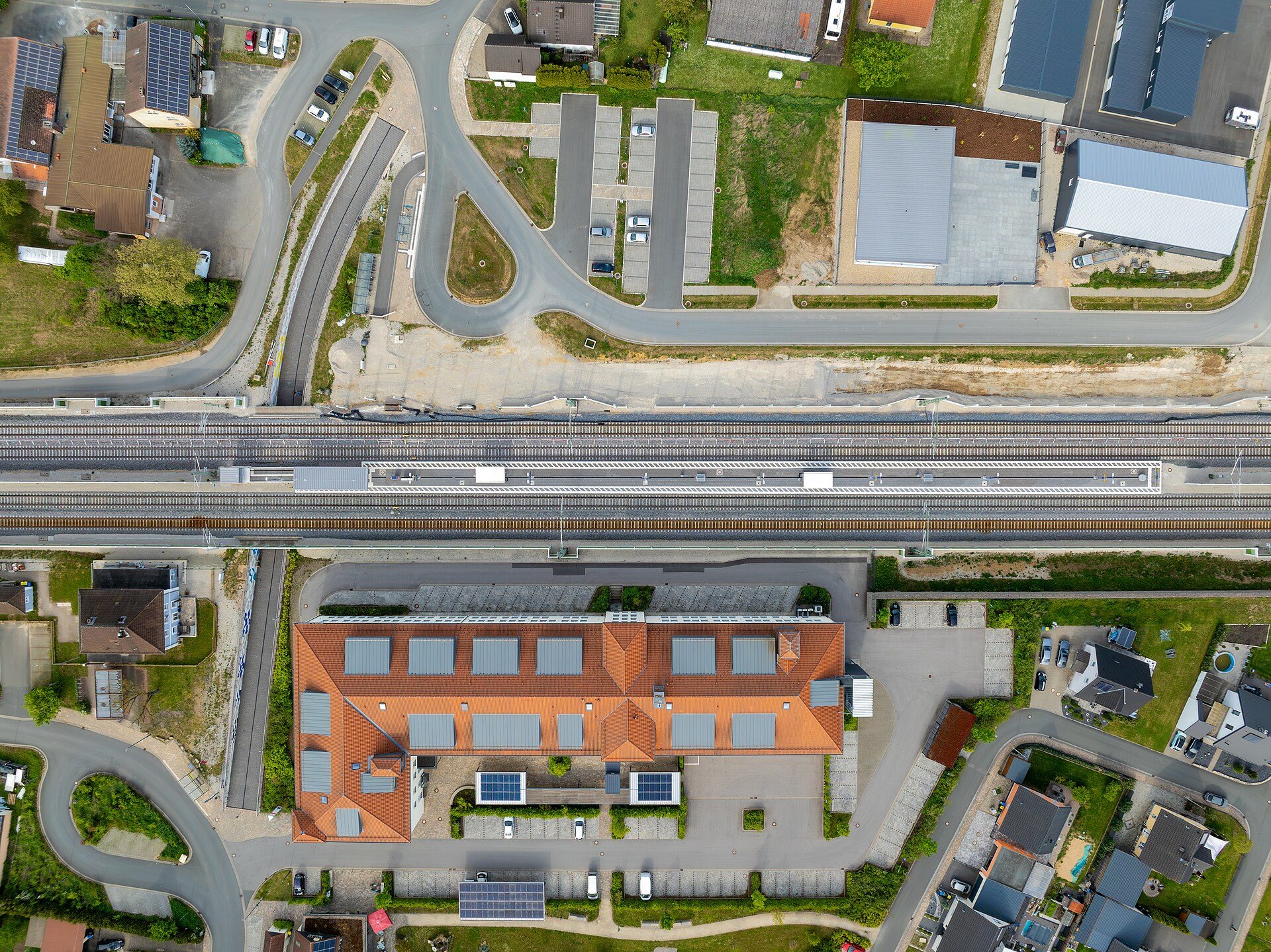
This is what a processed orthomosaic actually looks like — every vehicle, curb line, and rooftop unit rendered in survey-grade detail from a real aerial dataset.
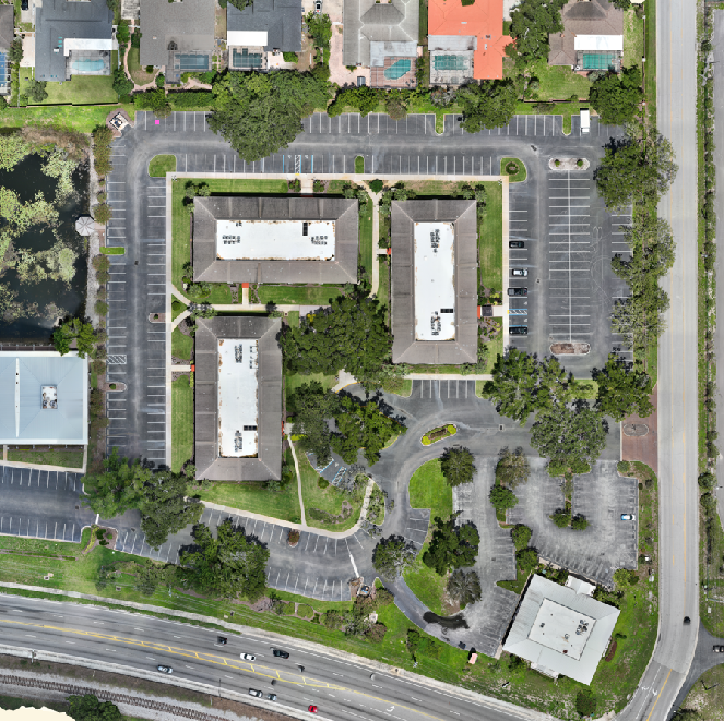
A stitched orthomosaic — hundreds of overlapping frames corrected for perspective and merged into one measurable map. Zoom-ready, geo-referenced, and ready to drop into your CAD or GIS environment.
Deliverables depend on project scope, equipment, site conditions and client requirements.
Deliverables
No proprietary viewers. No locked formats. Every dataset arrives ready for the CAD and GIS tools your team already runs — delivered through a shared cloud folder from first flight to final archive.
Deliverables depend on the project scope, equipment, site conditions and client requirements.
Featured Projects
The client, the challenge, the deliverables, and the result the team worked from — profile by profile.
Orthomosaic MapsLocal government / assessor
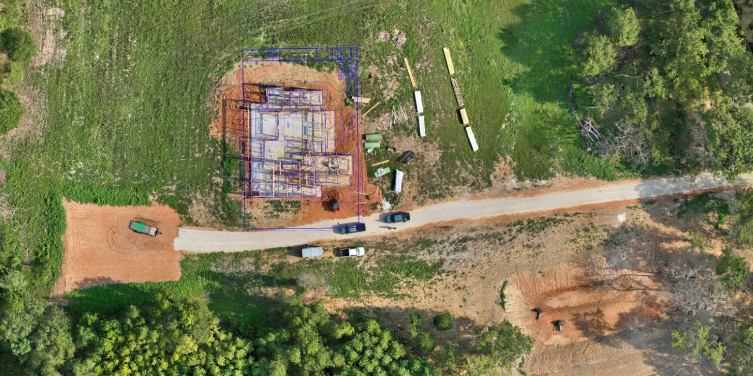 Construction Progress
General contractor and owner's representative
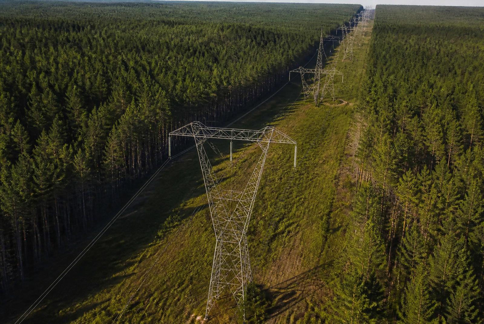 Utility Inspections
Electric utility
Commercial property owner
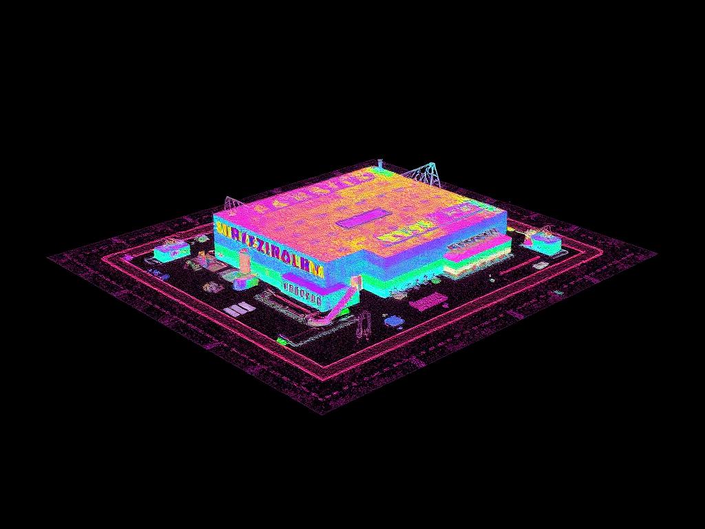 3D Reality Capture
Industrial facility owner
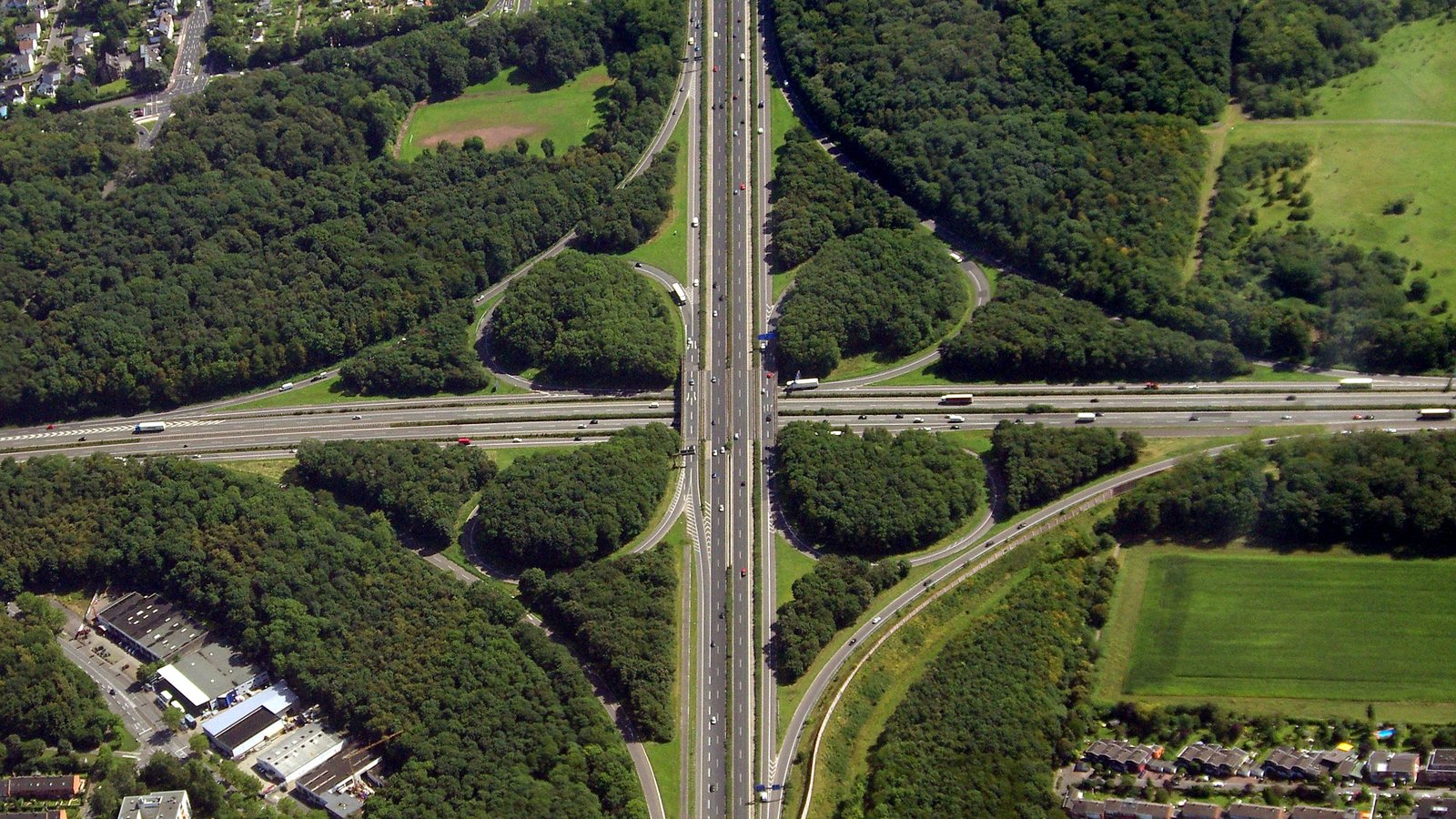 Government Projects
Public agency / civil engineering consultant
Representative Project Profiles. Scope, accuracy and deliverables vary by site conditions and client requirements.
Portfolio
Filter by the work that looks like yours — mapping, inspection, progress documentation, thermal, and more.
3D Reality Capture
Orthomosaic Maps
Utility Inspections
Construction Progress
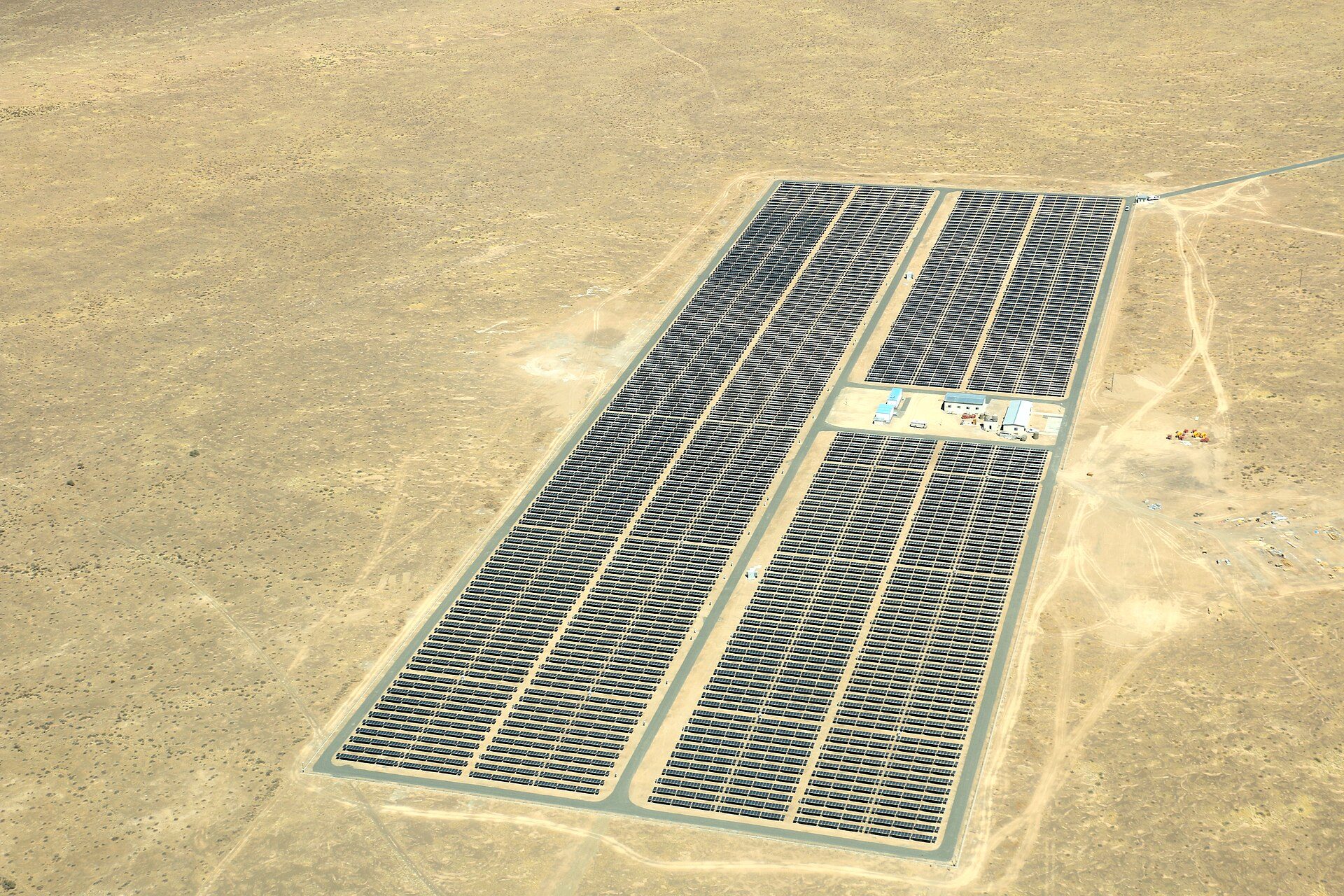
Thermal Inspections
Government Projects
Commercial Properties
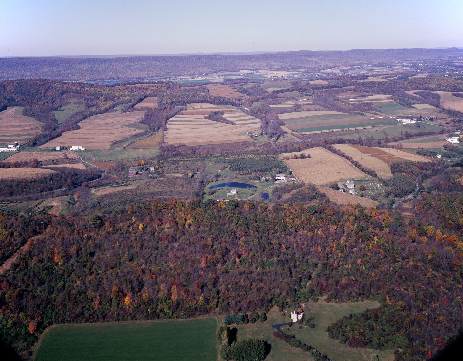
Land and Acreage Mapping
Why MG Solution Pros
Commercial operations flown by certificated remote pilots.
RTK positioning and ground control matched to the deliverable.
DXF, SHP, GeoTIFF, LAS and more — straight into your tools.
Consistent mission planning, overlap and checkpoint control.
Processing scheduled around your project milestones.
Hosted project folders your whole team can access.
Regional coverage across Texas, Louisiana, Mississippi and Alabama.
Clear reporting of method, coverage and deliverables.
We support the surveyor of record — we don't replace them.
Site-specific planning, briefings and documented procedures.
You talk to the people flying and processing your project.
From single parcels to corridors and large acreage.

Founder & Lead Remote Pilot
MG Solution Pros
Meet the Founder
“MG Solution Pros was founded to provide engineering firms, surveyors, utility companies, construction professionals, and government agencies with dependable aerial data and geospatial solutions without requiring them to build and manage an in-house drone program.”
Every project is planned, flown and processed with the end deliverable in mind — the CAD surface, the GIS layer, the inspection record or the progress report your team actually works from.
Request a Quote
Share your site, your timeline, and the deliverable you need. You'll hear back directly from the people flying and processing your mission — no call centers, no runaround.
One conversation is all it takes. Tell us where, what, and when — we'll map the fastest path from first flight to final deliverable.