Chapter 01 — The Goal
What the Client Needed
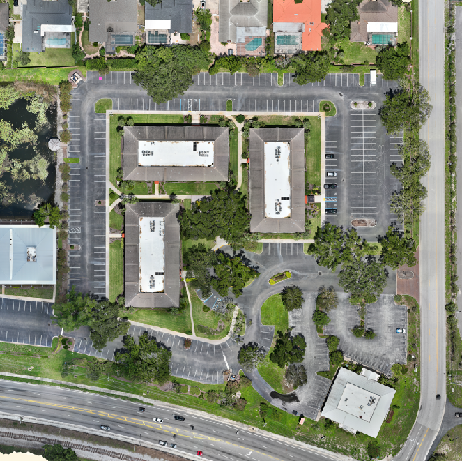
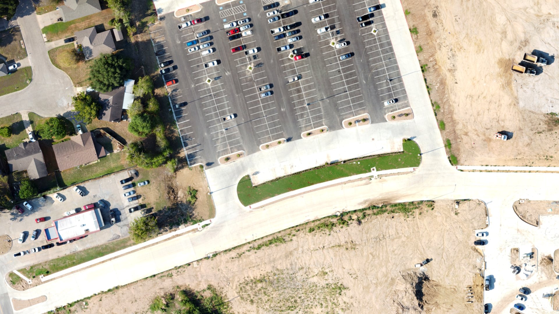
Refresh current aerial imagery for assessor use, public works mapping and the parish GIS basemap.
Chapter 02 — The Workflow
How We Captured It
The same disciplined process we fly on every job — planned, captured, processed and delivered.
Mission Planning
The parish divided into mapping blocks, each flown as a grid mission with consistent altitude, overlap and ground sampling distance.
Controlled Capture
RGB grid flights block by block, with ground control set wherever the accuracy specification called for it.
Orthomosaic Processing
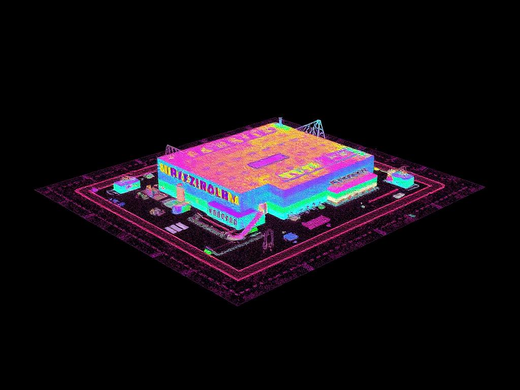
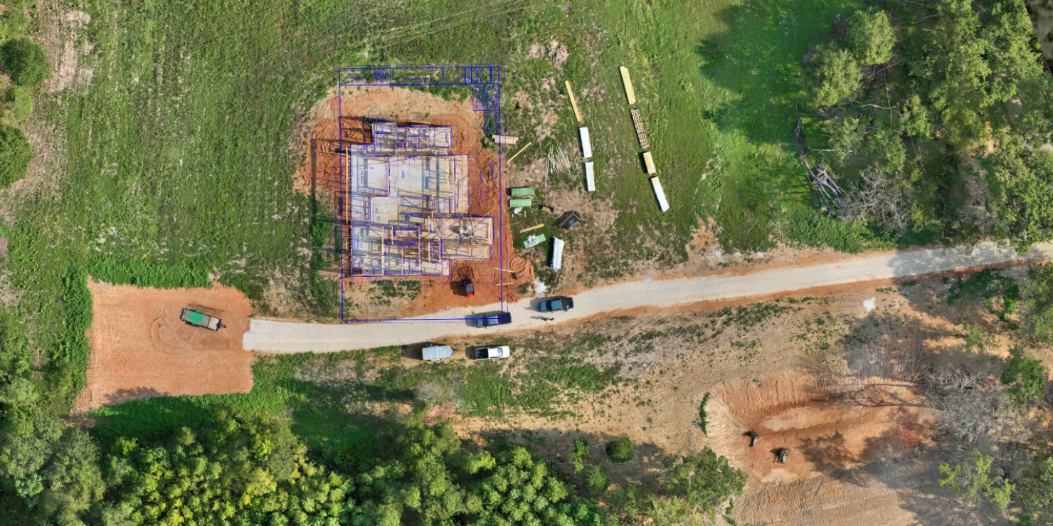
Blocks aligned and merged into one seamless, georeferenced orthomosaic with surface and terrain models.
GIS Delivery
GeoTIFF, tiled web layer, DSM/DTM and KMZ delivered ready for the assessor's GIS and public works mapping.
Data Collection
Grid mission planning with consistent overlap and altitude
Equipment
Multirotor platform with RGB sensor; ground control as required
Processing
Photogrammetric processing to georeferenced orthomosaic and surface model
Chapter 03 — The Deliverables
What We Handed Over
- GeoTIFF Orthomosaic
- Tiled Web Layer
- DSM and DTM
- KMZ Overview
Chapter 04 — The Results
What Changed for the Client
Staff were able to review current conditions in GIS without scheduling field visits.
Representative project profile. Accuracy depends on control method, site conditions and equipment used.
Request a Similar Quote