Chapter 01 — The Goal
What the Client Needed
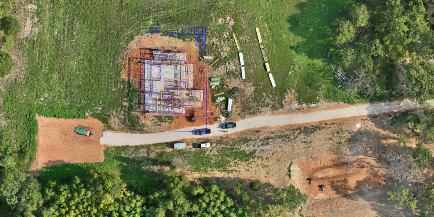
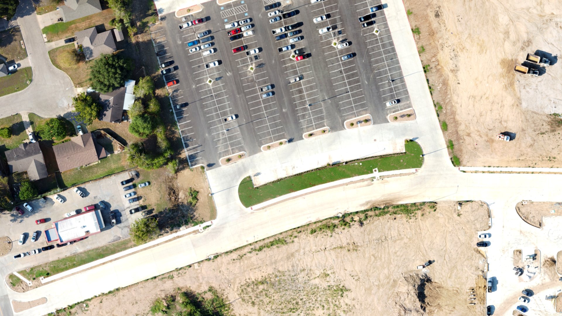
Provide recurring, comparable documentation of an active build and track earthwork between capture cycles.
Chapter 02 — The Workflow
How We Captured It
The same disciplined process we fly on every job — planned, captured, processed and delivered.
Baseline Flight
A fixed mission plan established on the first visit so every cycle captures identical coverage of the site.
Recurring Capture
Repeat flights on the same plan with RTK positioning, keeping every dataset comparable cycle to cycle.
Surface Comparison
Each cycle processed to a surface, with cut/fill measured against prior surfaces and stockpile volumes computed.
Progress Reporting
Orthomosaics, volumes and a PDF report delivered ahead of each monthly owner meeting.
Data Collection
Recurring flights on a fixed mission plan for cycle-to-cycle comparison
Equipment
Multirotor platform with RGB sensor; RTK-enabled workflow
Processing
Surface generation per cycle with cut/fill comparison against prior surfaces
Chapter 03 — The Deliverables
What We Handed Over
- Progress Orthomosaics
- Cut/Fill Comparison Surfaces
- Stockpile Volumes
- Progress Report (PDF)
Chapter 04 — The Results
What Changed for the Client
Owner and contractor reviewed the same dataset during monthly progress meetings.
Volume figures are derived from photogrammetric surfaces and depend on capture and control conditions.
Request a Similar Quote