Chapter 01 — The Goal
What the Client Needed
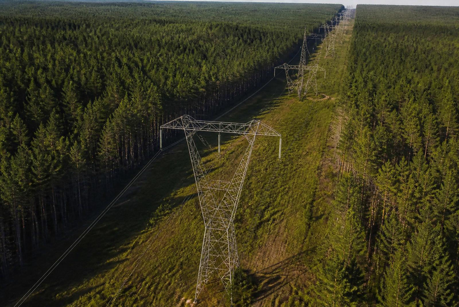
Capture structure-level condition imagery and document vegetation encroachment along an energized corridor.
Chapter 02 — The Workflow
How We Captured It
The same disciplined process we fly on every job — planned, captured, processed and delivered.
Corridor Planning
A structure-by-structure mission planned along the energized corridor, with access and safety coordination before launch.
Detail Capture
RGB and thermal passes at every structure, plus corridor-wide imagery for vegetation encroachment.
Cataloguing & Processing
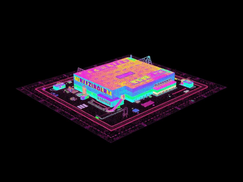
Imagery indexed by structure number and the full corridor processed into a measurable point cloud.
Findings Delivery
Photo sets, condition findings and an encroachment map delivered so crews dispatch with location-specific imagery.
Data Collection
Corridor mission with structure-by-structure detail imagery
Equipment
Multirotor platform with RGB and thermal sensors
Processing
Image cataloguing by structure, corridor point-cloud generation
Chapter 03 — The Deliverables
What We Handed Over
- Structure Photo Sets
- Condition Findings Log
- Vegetation Encroachment Map
- Corridor Point Cloud
Chapter 04 — The Results
What Changed for the Client
Field crews were dispatched with location-specific imagery instead of general work orders.
Inspection imagery supports, but does not replace, a qualified engineering assessment.
Request a Similar Quote