Chapter 01 — The Goal
What the Client Needed
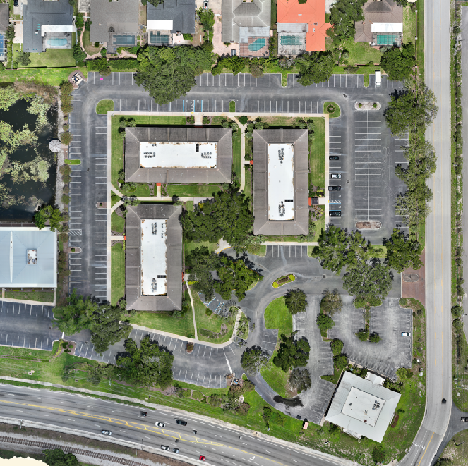
Document existing conditions across an operating plant so engineering and maintenance teams could plan work without repeated site visits.
Chapter 02 — The Workflow
How We Captured It
The same disciplined process we fly on every job — planned, captured, processed and delivered.
Flight Planning
Airspace review and obstruction survey around live process equipment, with programmed nadir and oblique flight lines for full structural coverage.
Data Collection
Multirotor RGB capture across every structure on site, RTK positioning tying each frame to plant coordinates.
Photogrammetric Processing
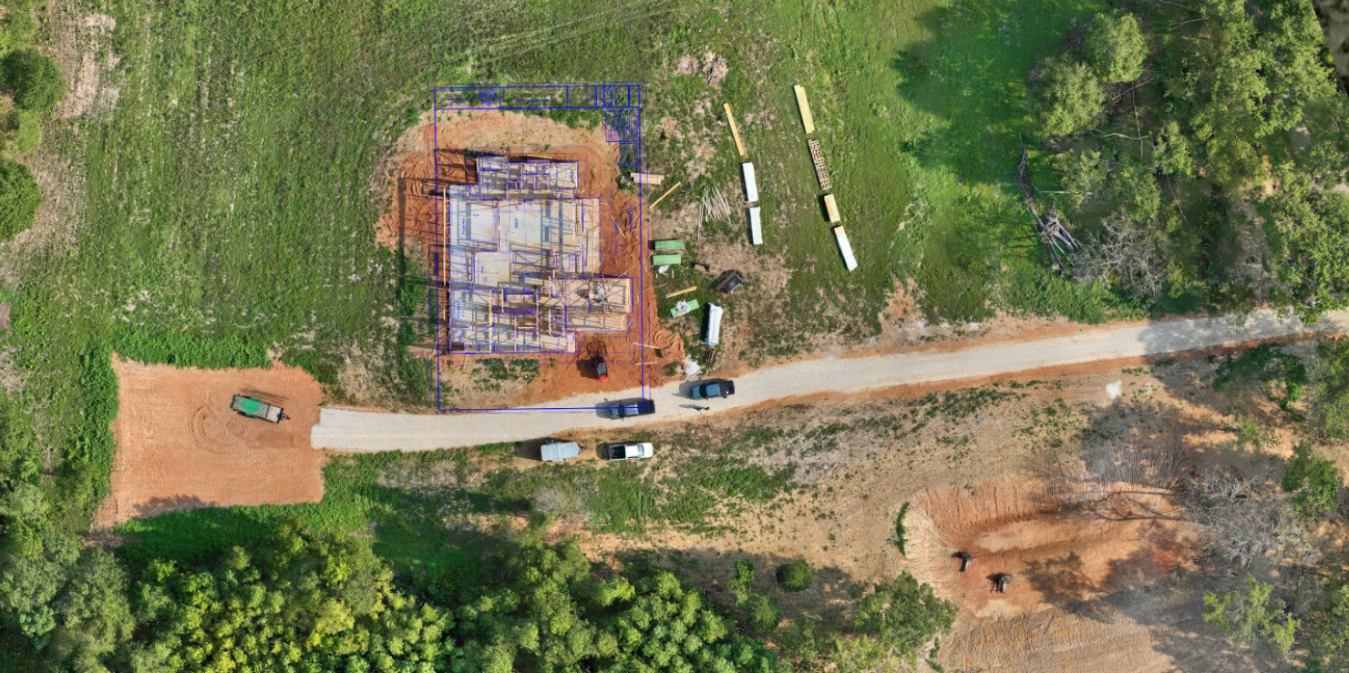
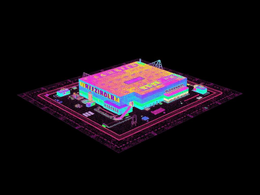
Thousands of frames aligned into a dense point cloud, then meshed and textured down to individual assets.
Model Delivery
Point cloud, textured mesh and photo register packaged and hosted for browser access by engineering and maintenance teams.
Data Collection
Nadir and oblique photogrammetry with programmed flight lines
Equipment
Multirotor platform with RGB sensor; RTK-enabled workflow
Processing
Photogrammetric alignment, point-cloud generation, mesh texturing
Chapter 03 — The Deliverables
What We Handed Over
- Point Cloud (LAS/LAZ)
- Textured Mesh (OBJ)
- Asset Photo Register
Chapter 04 — The Results
What Changed for the Client
A single browser-accessible model replaced scattered site photos as the reference for planning and coordination.
Representative project profile. Scope, accuracy and deliverables vary by site conditions and client requirements.
Request a Similar Quote