Chapter 01 — The Goal
What the Client Needed
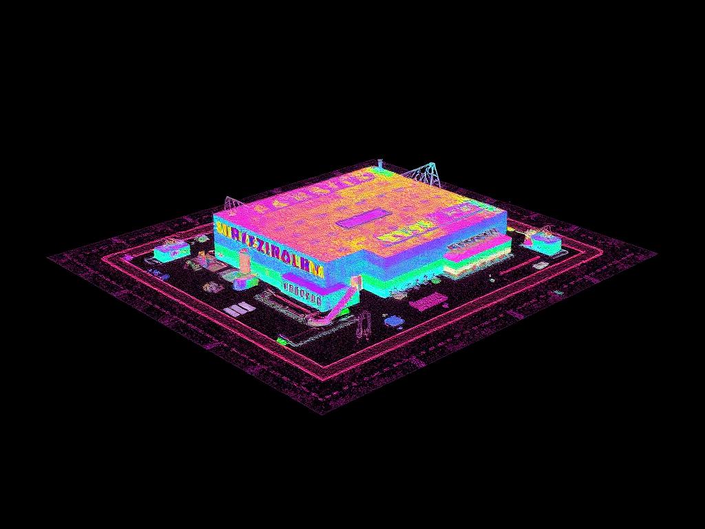
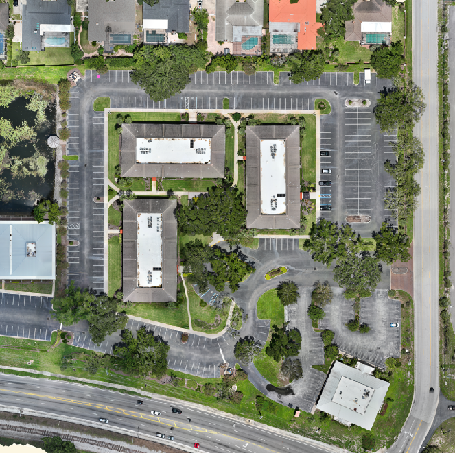
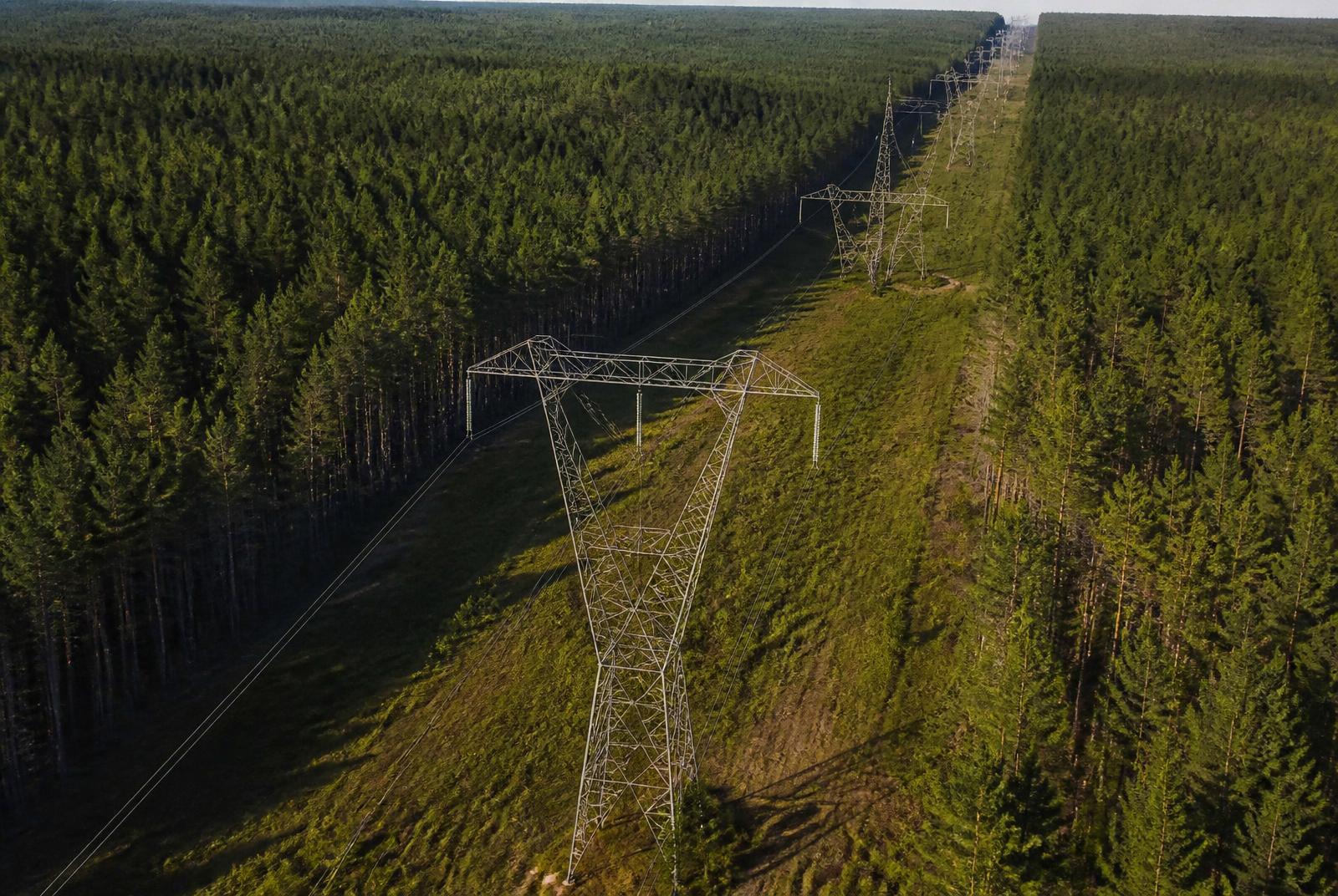
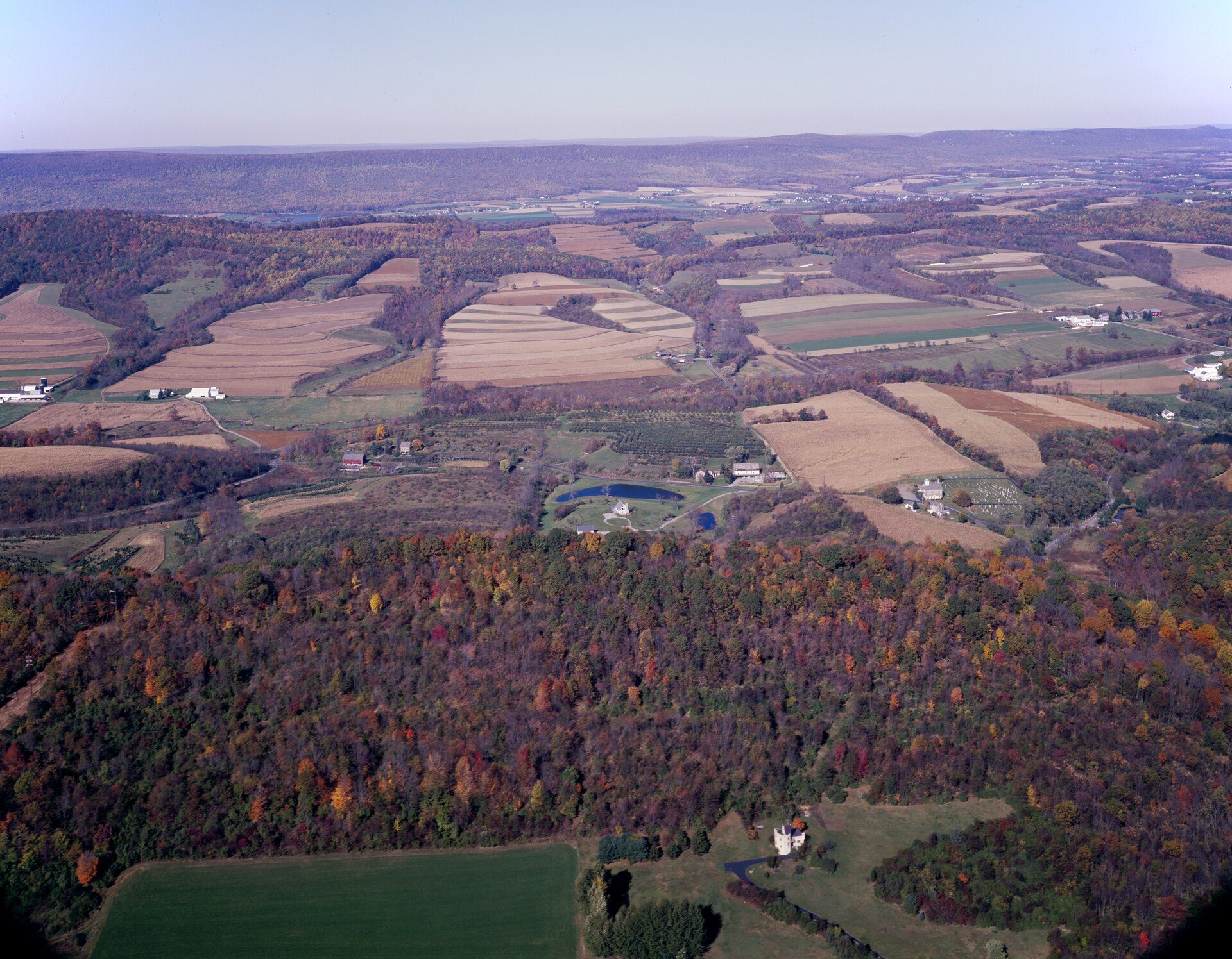
Map a large tract for development planning, drainage review and acreage documentation.
Chapter 02 — The Workflow
How We Captured It
The same disciplined process we fly on every job — planned, captured, processed and delivered.
Tract Planning
The tract divided into multi-battery grid missions with consistent overlap across the full acreage.
Systematic Capture
RTK-enabled grid flights flown block by block until the entire tract was covered.
Terrain Processing
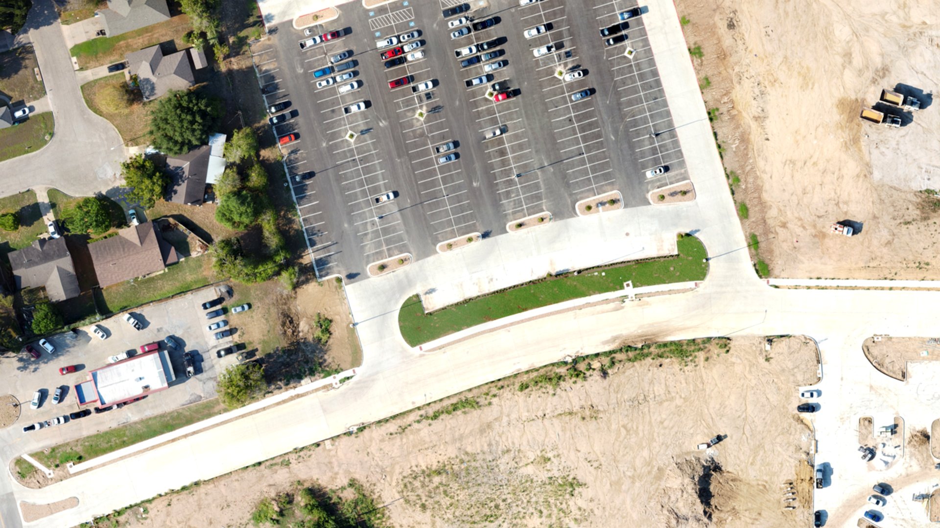
Imagery processed into an orthomosaic, digital terrain model and contour set.
Planning Delivery
GeoTIFF, terrain model, DXF contours and a KMZ overview delivered as a measurable planning basemap.
Data Collection
Multi-battery grid mission with consistent overlap
Equipment
Multirotor platform with RGB sensor; RTK-enabled workflow
Processing
Orthomosaic, terrain model and contour generation
Chapter 03 — The Deliverables
What We Handed Over
- Orthomosaic (GeoTIFF)
- Digital Terrain Model
- Contour File (DXF)
- KMZ Overview
Chapter 04 — The Results
What Changed for the Client
Planning discussions started from a current, measurable basemap of the tract.
Acreage and boundary figures shown are for planning reference and are not a boundary survey.
Request a Similar Quote