Chapter 01 — The Goal
What the Client Needed
Document a commercial property's roof, exterior and site for leasing, maintenance planning and marketing.
Chapter 02 — The Workflow
How We Captured It
The same disciplined process we fly on every job — planned, captured, processed and delivered.
Capture Planning
A nadir and oblique flight plan built around the roof, exterior elevations and full site coverage.
Single-Visit Capture
The entire property documented in one flight session, including detail imagery of roof and exterior.
Model Processing
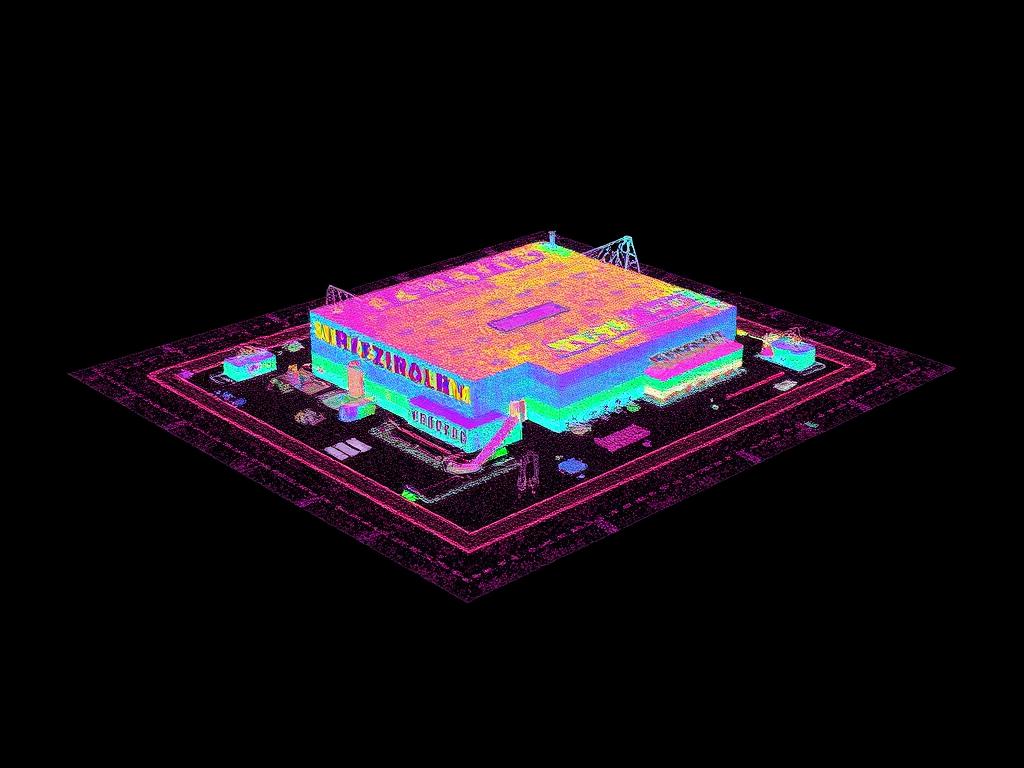
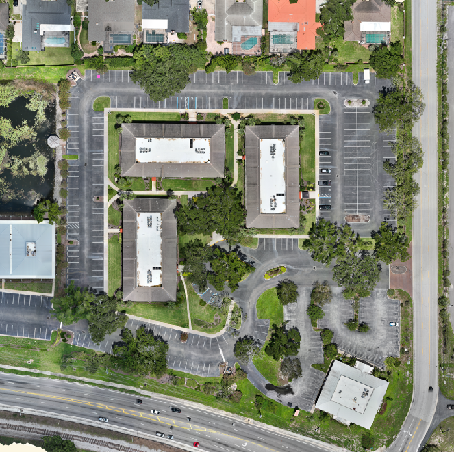
Imagery processed into a georeferenced orthomosaic and a textured 3D mesh of the structure.
Multi-Use Delivery
Mesh, orthomosaic, detail imagery and marketing stills delivered for maintenance, leasing and records.
Data Collection
Nadir and oblique capture with detail imagery of roof and exterior
Equipment
Multirotor platform with RGB sensor
Processing
Orthomosaic and textured mesh generation
Chapter 03 — The Deliverables
What We Handed Over
- Textured Mesh (OBJ)
- Orthomosaic
- Roof and Exterior Imagery
- Marketing Stills
Chapter 04 — The Results
What Changed for the Client
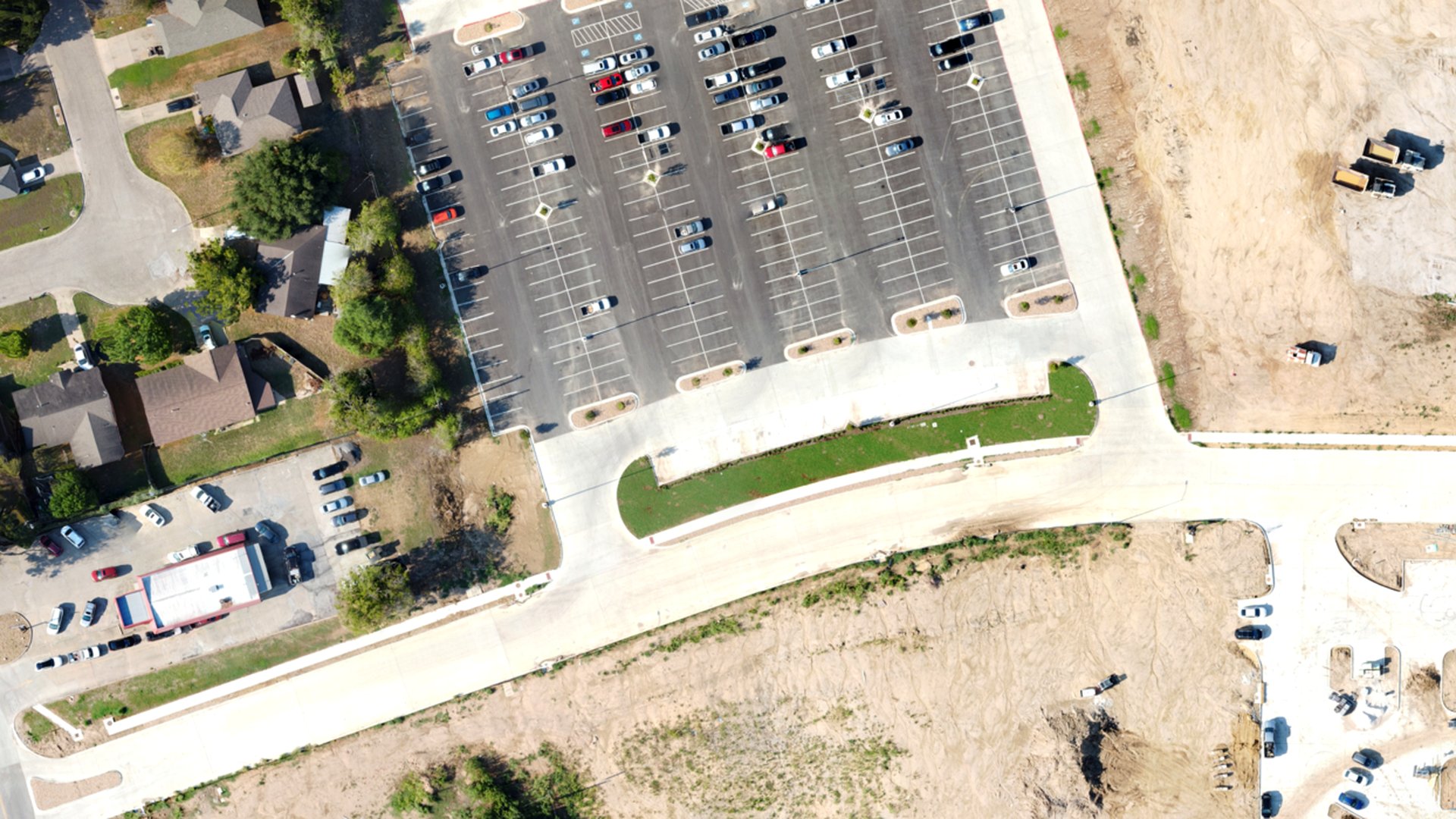
One capture served maintenance planning, leasing collateral and existing-condition records.
Imagery is documentation only and is not a roof or structural inspection report.
Request a Similar Quote