Chapter 01 — The Goal
What the Client Needed
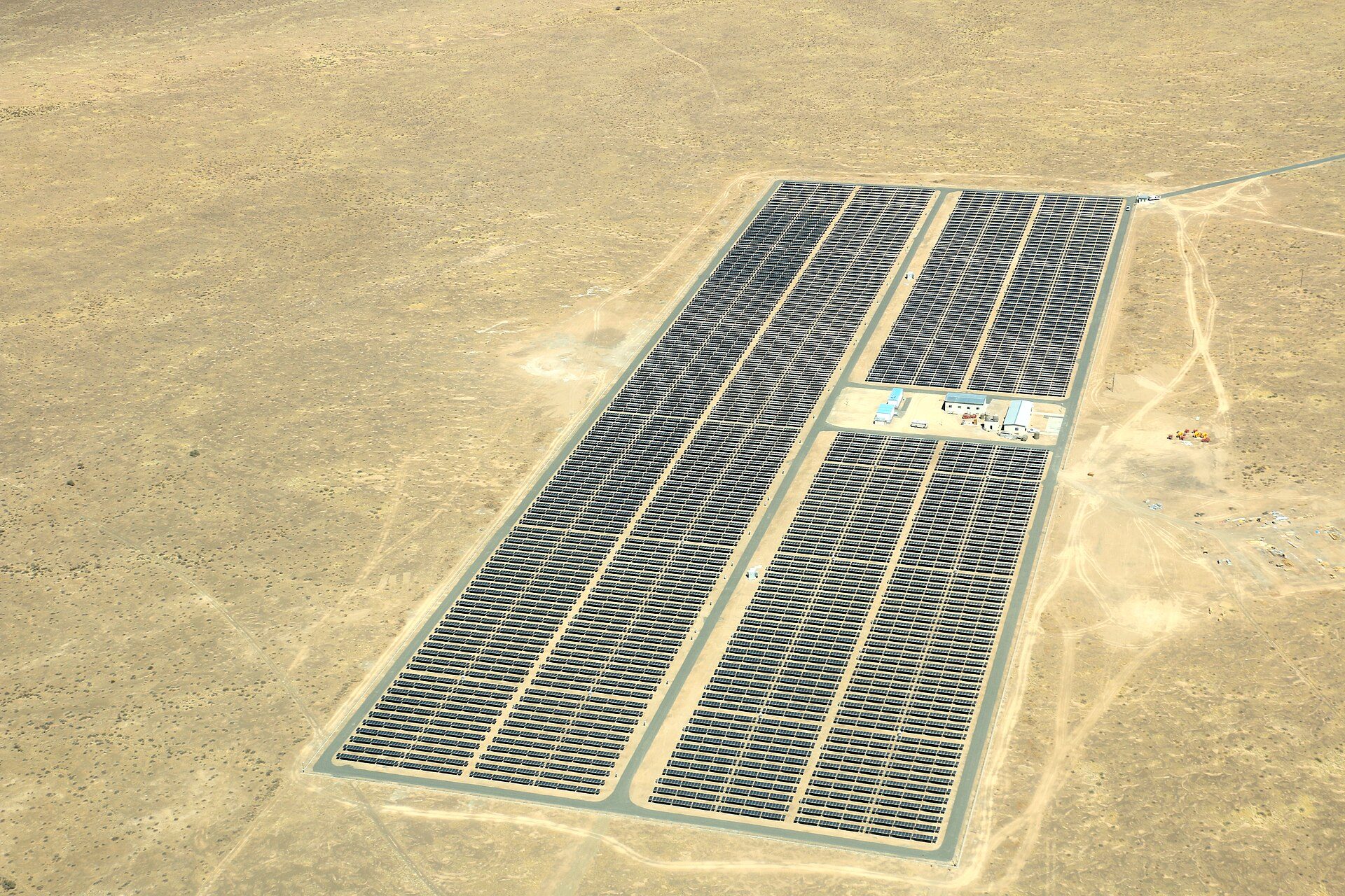
Identify thermal anomalies across an array and locate them for field verification.
Chapter 02 — The Workflow
How We Captured It
The same disciplined process we fly on every job — planned, captured, processed and delivered.
Window Planning
The flight scheduled inside a suitable irradiance window so radiometric data stays clean and comparable.
Thermal & RGB Capture
Programmed passes over every array row, capturing radiometric thermal and visual imagery together.
Anomaly Processing
A thermal orthomosaic built across the site, with anomalies tagged and located down to module level.
Verification Map
Anomaly table and module-level map delivered so field crews verify specific locations, not the whole array.
Data Collection
Programmed thermal and RGB capture within an appropriate irradiance window
Equipment
Multirotor platform with radiometric thermal and RGB sensors
Processing
Thermal orthomosaic generation with anomaly location tagging
Chapter 03 — The Deliverables
What We Handed Over
- Radiometric Thermal Orthomosaic
- Anomaly Location Table
- Module-Level Map
- Findings Report
Chapter 04 — The Results
What Changed for the Client
Field verification was directed to specific locations rather than a full manual sweep.
Thermal findings indicate areas for inspection and require field verification by qualified personnel.
Request a Similar Quote