Chapter 01 — The Goal
What the Client Needed
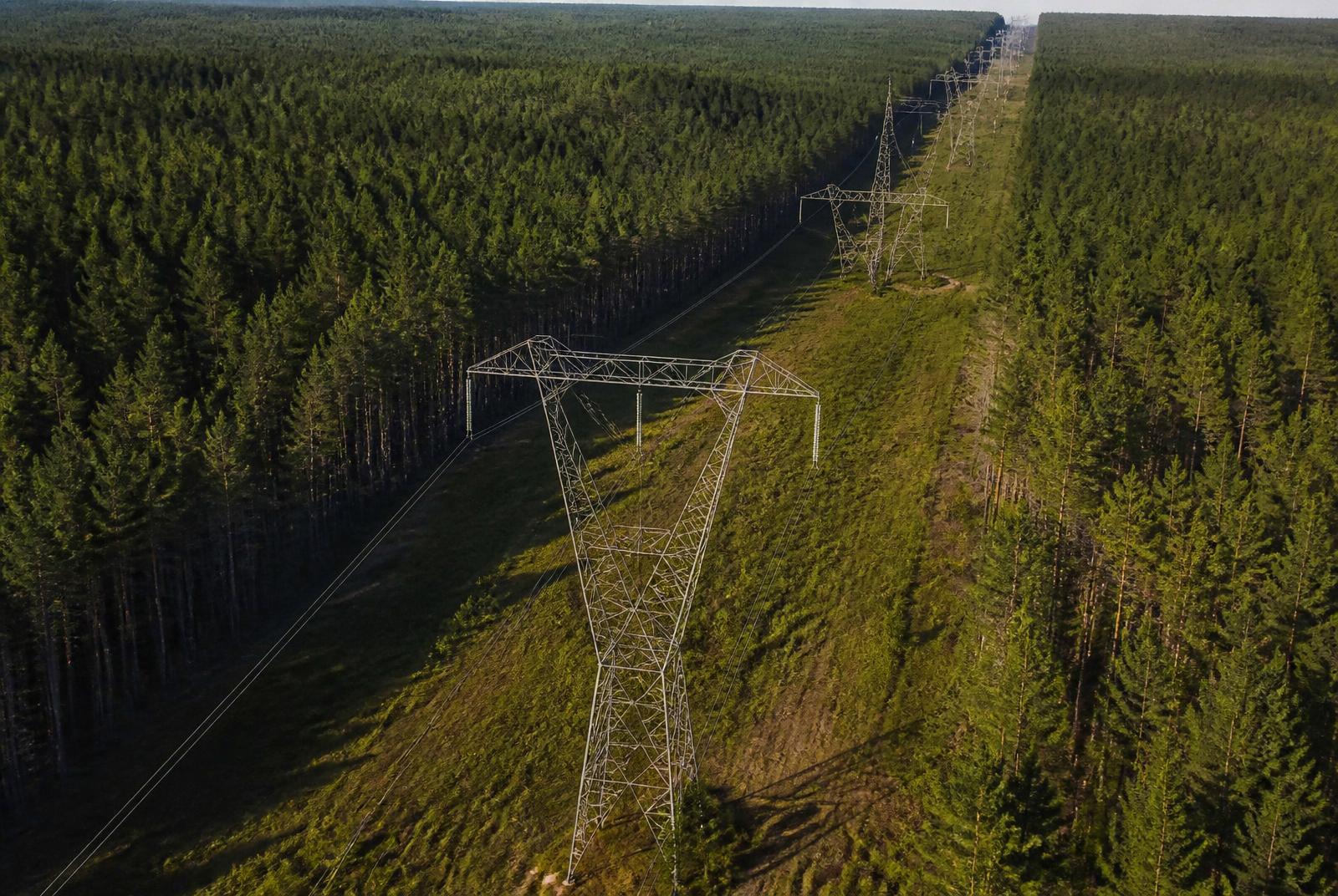
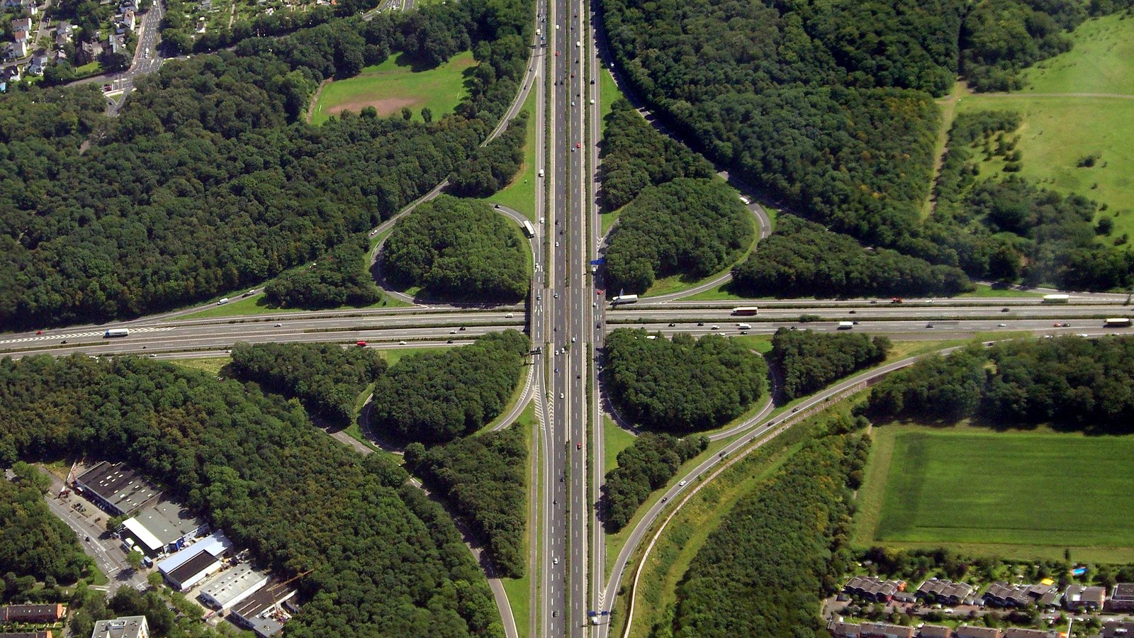
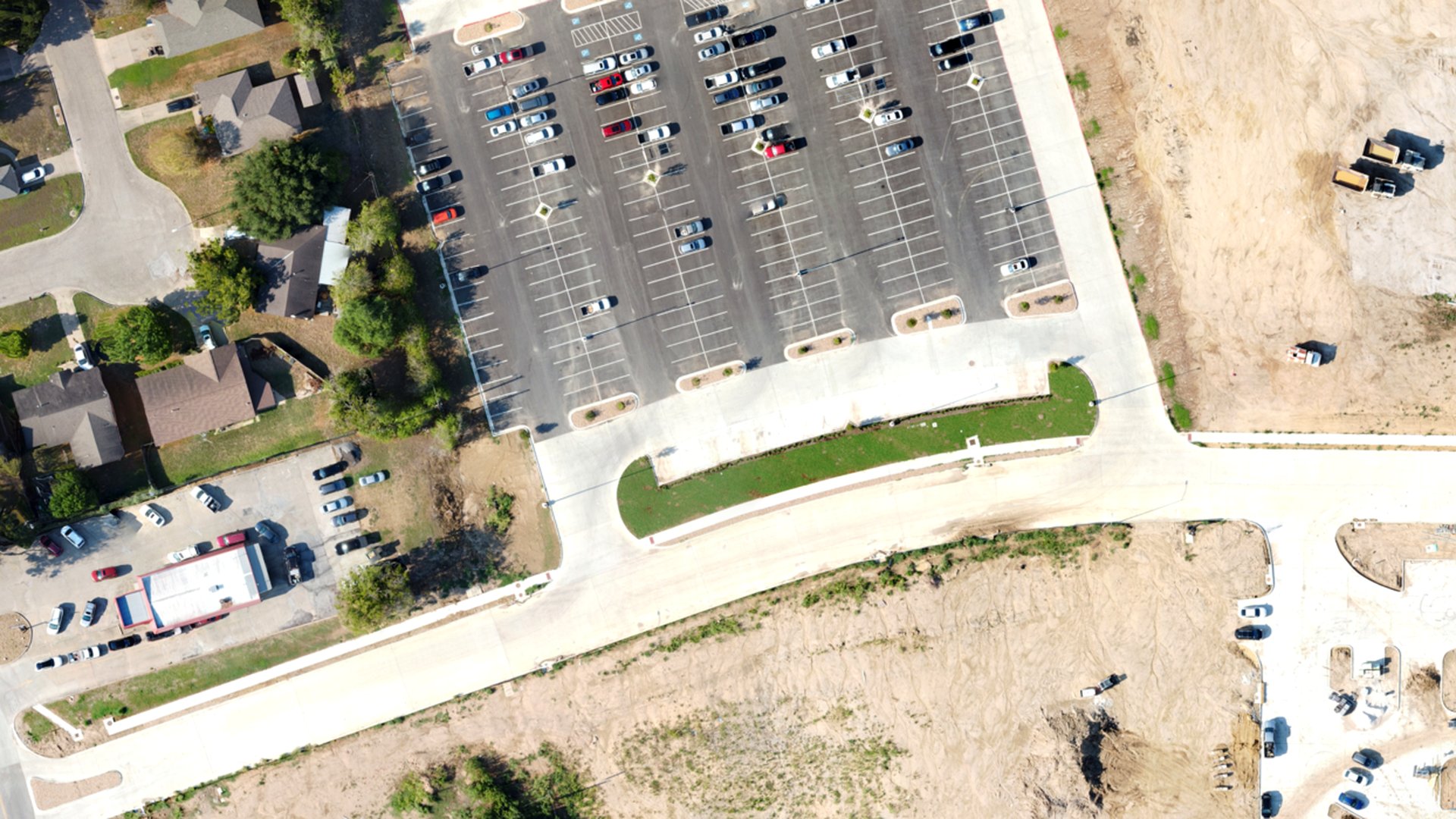
Provide current corridor topography and imagery to support a roadway widening study.
Chapter 02 — The Workflow
How We Captured It
The same disciplined process we fly on every job — planned, captured, processed and delivered.
Control & Planning
Ground control and checkpoints set first, with corridor missions planned to keep lanes open throughout.
Corridor Capture
RTK-enabled photogrammetry flown along the corridor without a single lane closure.
Surface Production
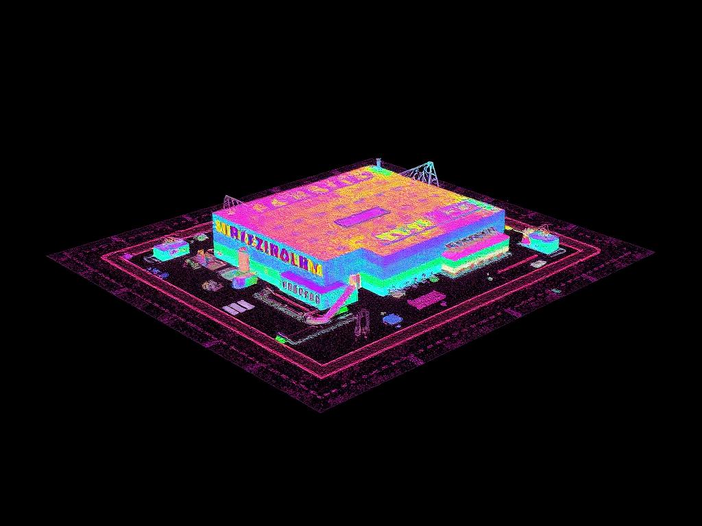
Terrain surface generated, breaklines digitized and CAD linework produced from the dataset.
Engineering Delivery
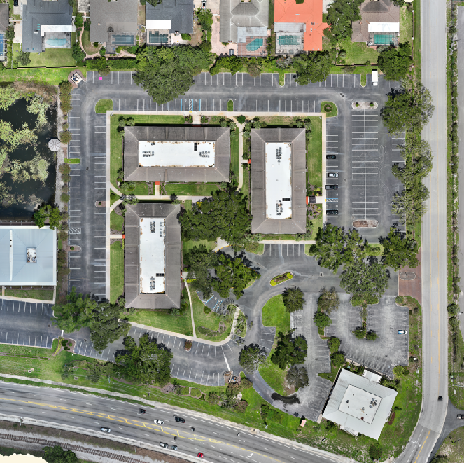
DXF/DWG surface, LAS point cloud, GeoTIFF orthomosaic and control documentation delivered to design staff.
Data Collection
Corridor photogrammetry with ground control and checkpoints
Equipment
Multirotor platform with RGB sensor; RTK-enabled workflow
Processing
Surface generation, breakline digitizing, CAD export
Chapter 03 — The Deliverables
What We Handed Over
- CAD Surface (DXF/DWG)
- Point Cloud (LAS)
- Orthomosaic (GeoTIFF)
- Control Documentation
Chapter 04 — The Results
What Changed for the Client
Design staff worked from current site conditions without closing lanes for field survey.
Aerial mapping supports the survey workflow; boundary and control determinations remain with the licensed surveyor of record.
Request a Similar Quote